Heading for the Harbour
*Please do research before walking around a new place and make sure to avoid areas that do not feel safe.
One of my favorite things to do while traveling is wander around. Before I head out, I will have a general idea of where I am going—and what places to avoid—but my route to get there is only definite when I reach my waypoint//destination. My day spent wandering the beach and port area of Aberdeen unfolded in that same way. I vaguely plotted my route out before I left the hotel; I had a list of points of interest—some old family addresses and the Aberdeen Maritime Trail map. Side note: I don’t use paper maps when I’m out roaming in town, I use photos//screenshots//apps on my phone so I don’t scream “LOOK! I’M A TOURIST!”. In this case I had my UK SIM card from 3//Three UK (which offers a prepaid unlimited data option in the UK and has the best reception outside urban Scotland) so I could just open my map whenever I felt I needed to.
SUN!!!
The main goal of the day was to head to the beach and get a dose of Vitamin D after a few days of pretty driech weather. Between my hotel and Aberdeen Beach was the street of tenement housing [“tenement” means multi-family housing in Scotland] where my family lived at least into the late 1930’s and—like 42 Wallaby Way, Sydney—was an address that had somehow just stuck with me. So, I took that road to the golden sands of Aberdeen Beach.
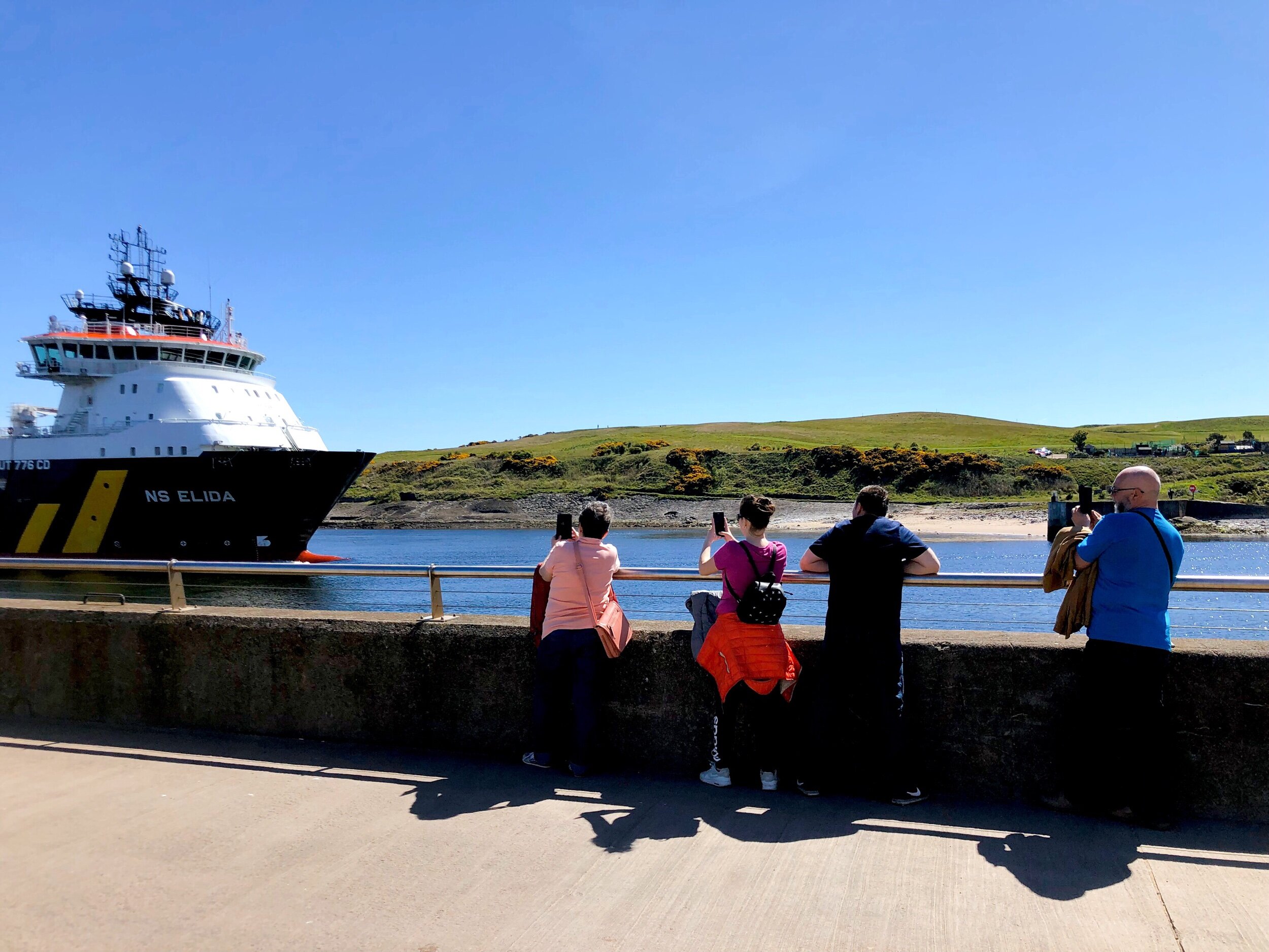
I think everyone in the city had the same idea; when I finally got to the beach, the boardwalk, arcade, and shopping area were teeming with people and parking was full. There was, to my surprise, few on the actual beach… rather favoring to walk//jog//sit up on path that runs along the shoreline from the links course north down to Footdee. I spent about an hour on the beach watching ships come in and out of the harbour, picking up trash//plastics off of the beach (there was quite a bit), and trying to find a place to sit on one of the jetties that wasn’t downwind from an overfull trash bin or absolutely covered with seagull poop. Seriously, the seagulls in Aberdeen are a whole mood. They give off a whole “big domineering seagull energy “ 24/7/365. From the beach—and after petting a few dogs—I made my way to Footdee, or Fittie.
WEE HOUSES, MUCKLE PERSONALITY
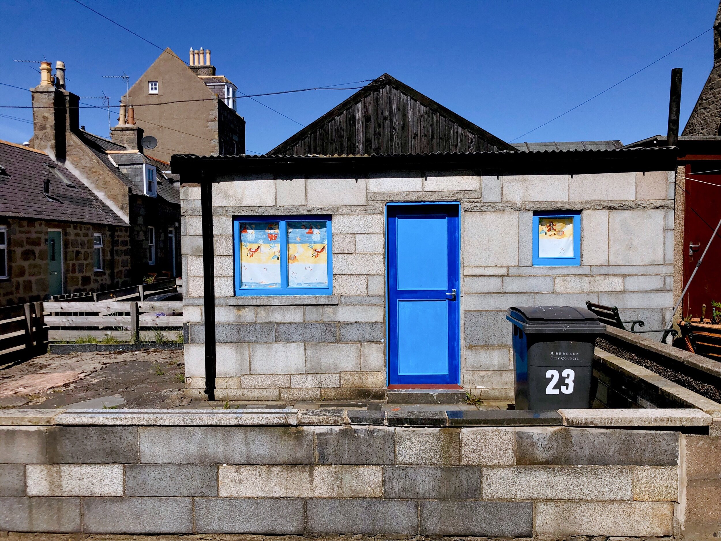
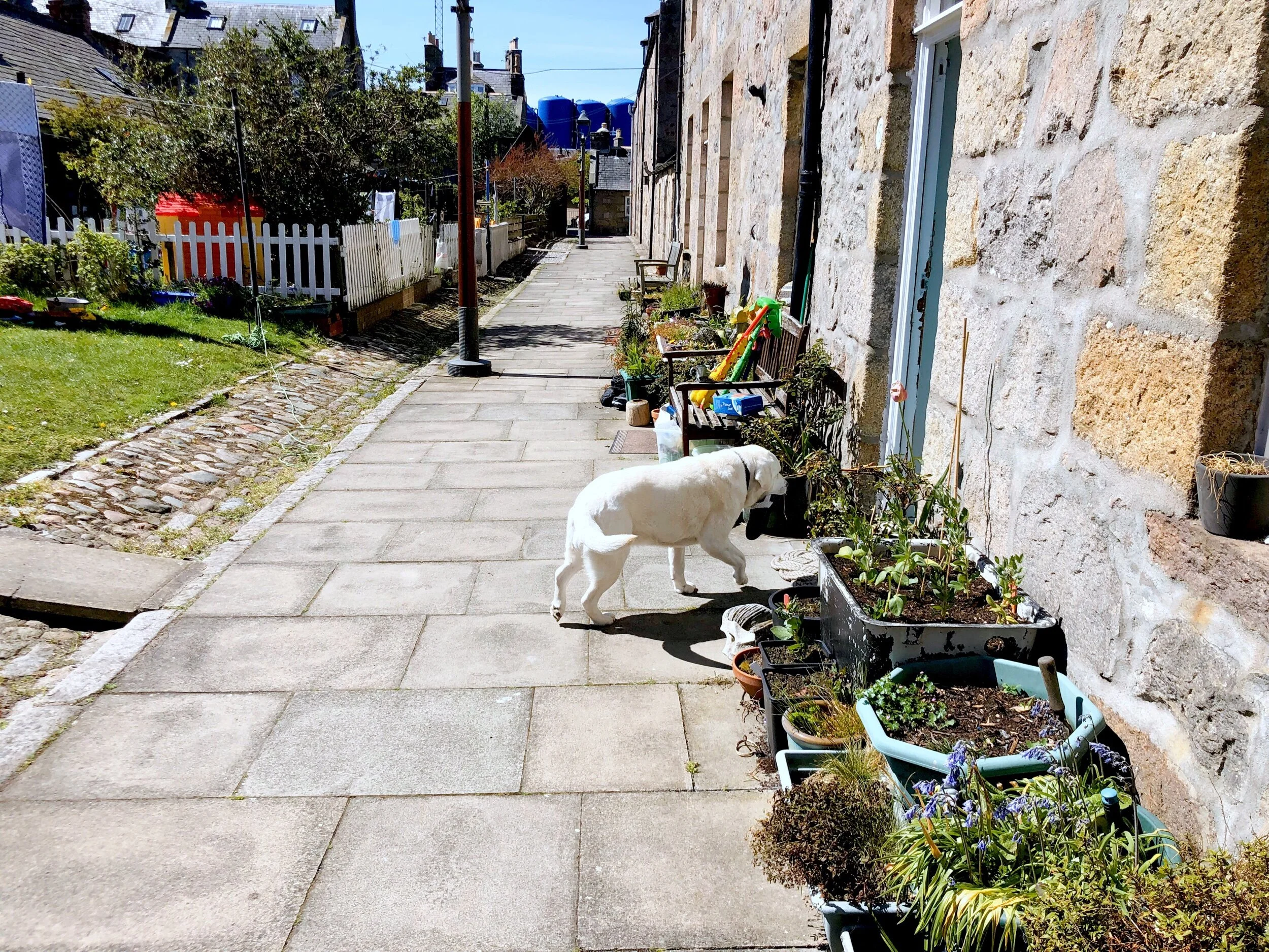
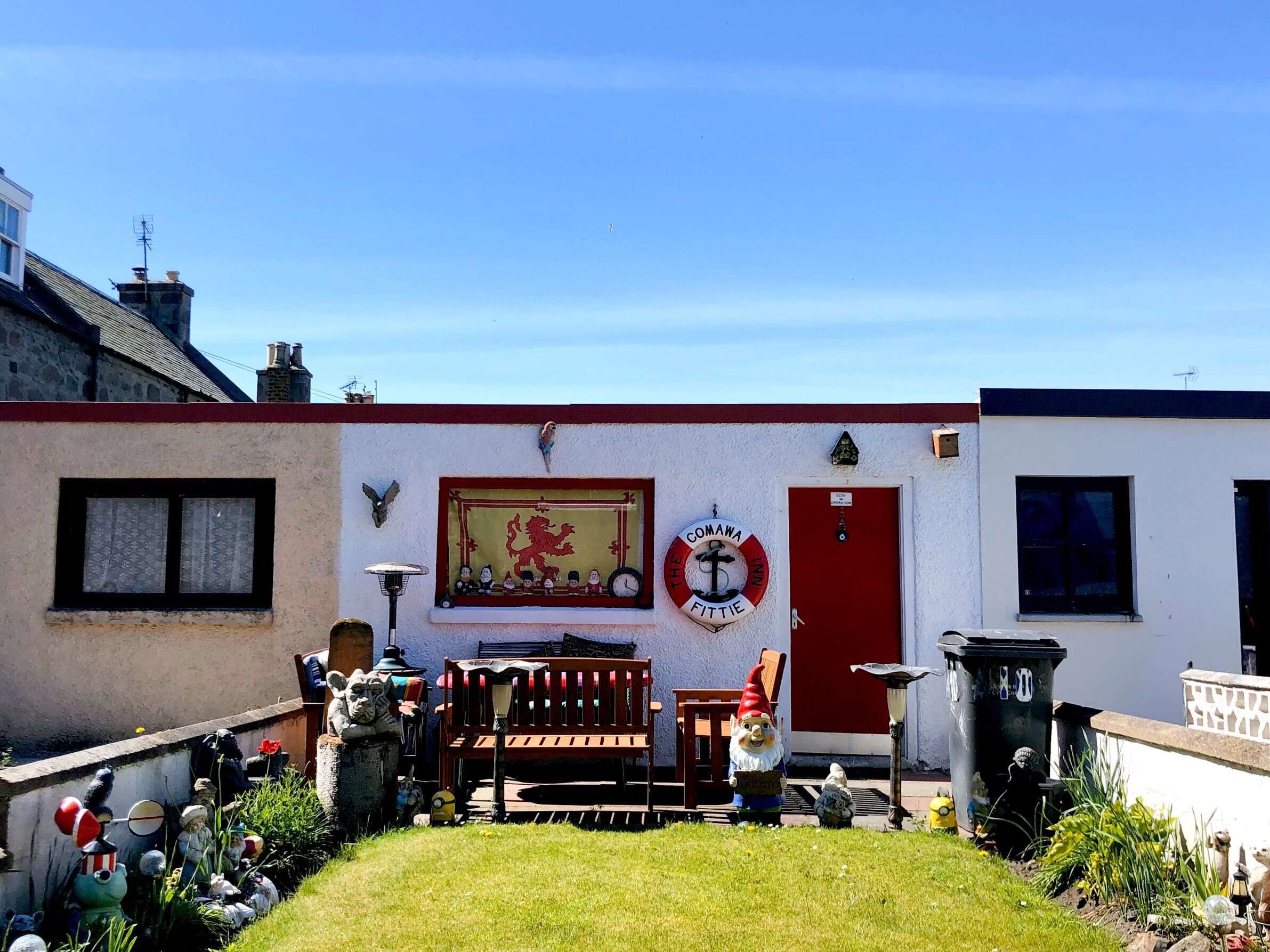
Footdee (Maritime Trail stop #10) sits at the northern entrance to Aberdeen Harbour and consists of three squares around which are single and double story stone houses; in the squares stand single story houses that are a call back to the “tarry sheds” that once stood in their place.
Footdee, until at least the 1830’s, was a larger area that included parts of the harbour closer to town, and St. Clement’s Church. Footdee, or Fittie, as we know it today was once called “Fish Town” and is described in “Footdee in the 18th Century” by Ann Allardyce, as consisting of:
“several rows of low thatched cottages, running from east to west between the hight road and the harbour, or as it was called, the ‘tide,’ which at high water came up even to the ends of the houses. Nothing could be more apparently comfortless than the exterior of these dwellings, each fronting, the back of the opposite neighbour, and the narrow space between forming a line of dunghills , crossed over with supported spars, from whence hung lines, bladders, and buoys, intermixed with dried skate and dogfish.” (29)
In the early 19th century, “improvements had taken place there,” (43) as John Smith designed 2 squares of 28 single story houses and public areas for the longstanding fishing community to live in a more planned and spacious district. Later, around 1855, the southernmost row, Pilot Row was added for those who helped bring ships in and out of the harbor.
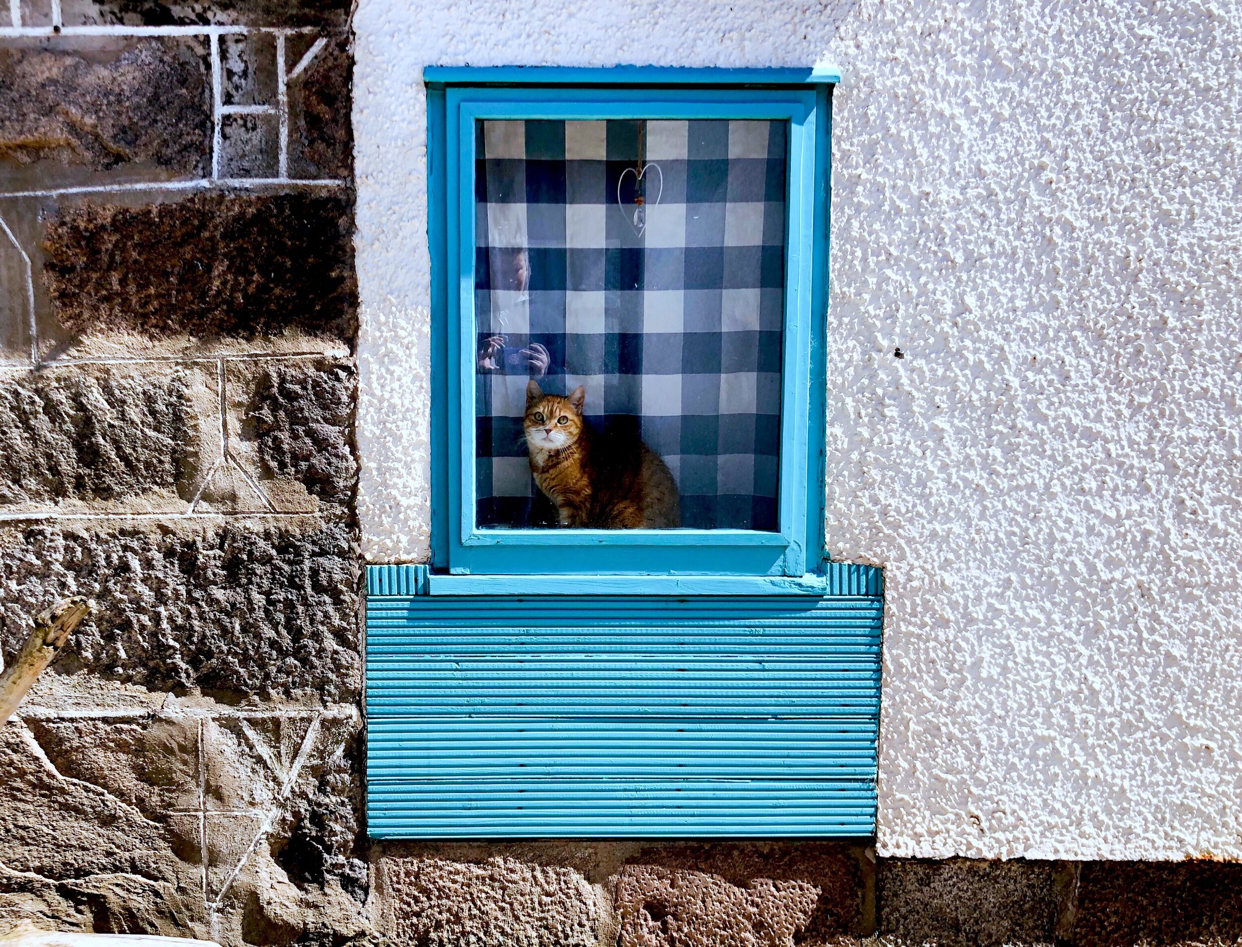
In the mid 1900’s, many of the iconic, driftwood-based Tarry Sheds were built in the public squares; they bordered the the opposite side of the roads from the planned, stone structures. Today, buildings still border both sides of the roads in North and South Square, and each home imparts a quirky personality—with plenty of nautical iconography—to the many the roam the area; indicating that whether or not residents still participate in maritime trades, the proximity to the sea, both physically and culturally, is never far from their minds.
Aberdeen City Council also noted the “unique planned fishing village with strong links to the harbour and fishing history, including the juxtaposition to the harbour uses,” aspect of the village as a strength in their 2015 Aberdeen City Conservation Area Character Appraisals and Management Plan (26).
I Walked UP AN APPETITE
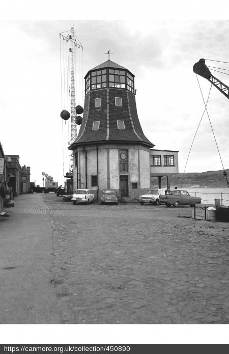
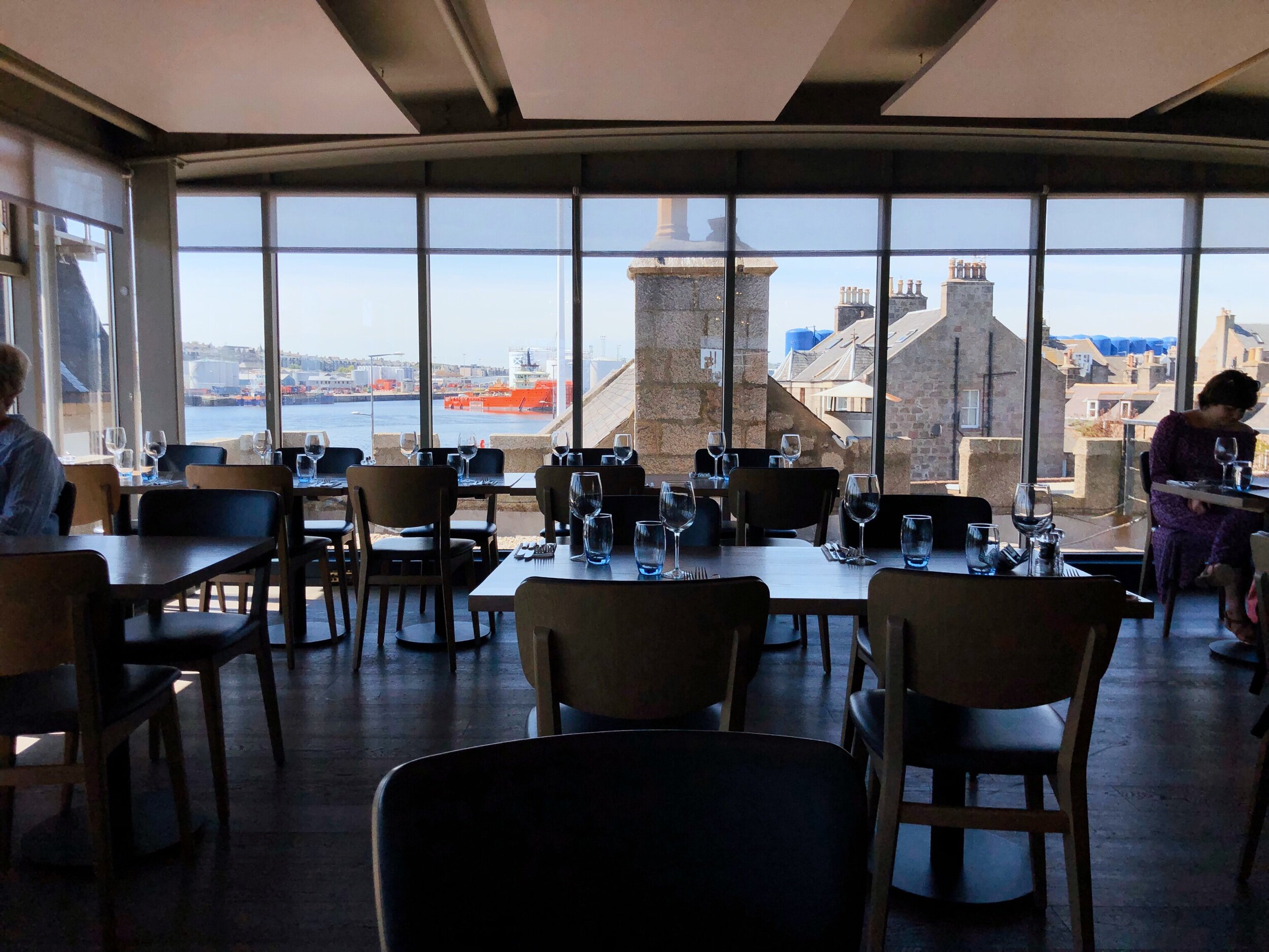
Despite enjoying the walk, I was hungry. My intended destination was The Silver Darling restaurant located just outside Fittie’s southern boundary on Pocra Quay, in a former customs building. The Silver Darling is also located in next to Aberdeen’s iconic, “Roundhouse” (Maritime Trail stop #15), that served as the navigation control centre until the offices were moved to a larger and distinctively modern building at the shore end of North Pier (#18 ). The Roundhouse in its current form has been around since at least the late 18th century.
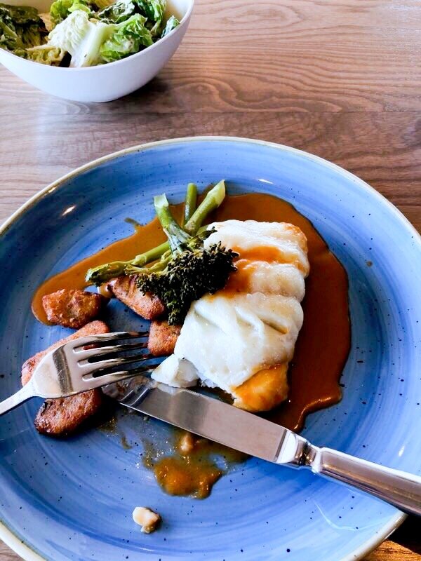
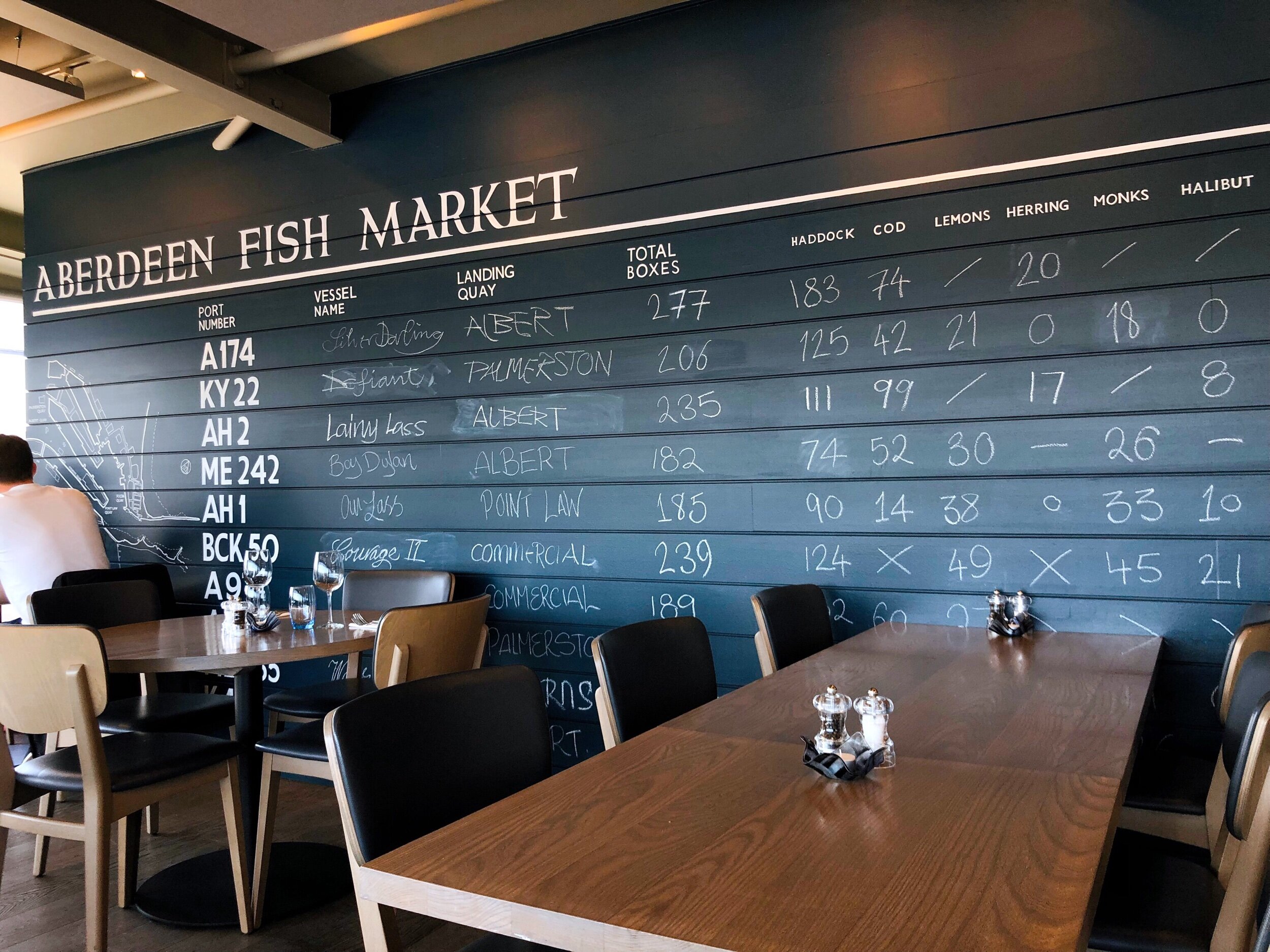
As it happens, I literally wandered into a restaurant that is quite popular, and was luckily seated immediately and treated to a lovely lunch of fresh seafood—their selection is picked daily from local vendors.
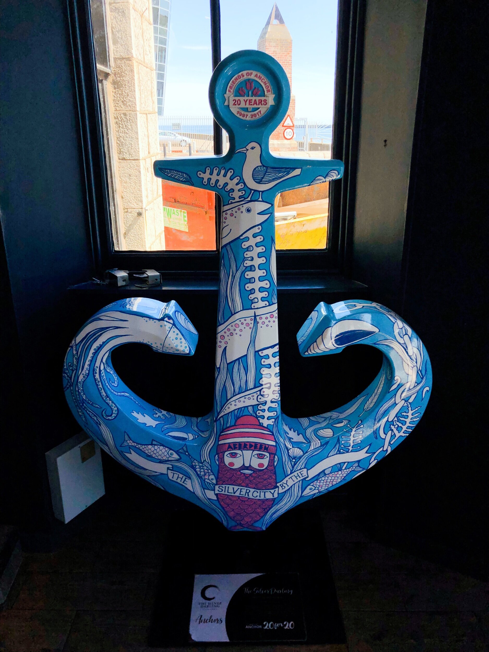
The name itself is an ode to the fishing heritage of the neighborhood; “silver darlings” refer to the herring—an abundant and affordable fish that is commonplace in both Scotland’s culinary heritage and those of other northern European countries, e.g.hollandse niewue (fresh herring) in the Netherlands and pickled herring, sill (Swedish), in the Nordics. Aberdeen is not the only town that continues to pay subtle tribute to the fish; both Rotterdam and Amsterdam—major centers of maritime trade at various points in history—have thoroughfares called Haringpakkersstraat and Haringpakkerssteeg, respectively.
If I’m eating by myself, I usually pass time on my phone or reading a book//magazine, but on this occasion, I found the wait for food to be totally consumed by watching ships pass in and out of the harbour. The second floor location gives one an incredible and very close-up view of vessels.
According to my trusty MarineTraffic app, I spent my time staring at an Antigua-flagged cargo ship, Bekau, enter the port. On the other (north)side of the restaurant, guests are treated to views of Fittie and Aberdeen Beach, which on a sunny day, was probably an equally lively view.
TIME TO Wander OFF LUNCH
After my truly wonderful lunch, I worked my way back to Guestrow though the industrial area between Fittie//The Silver Darling and the city center. Now home to large complexes serving the port and its many industries, the area was home to many of those who took to the sea for a living. In the middle of this industrial area (not the most scenic walk but fascinating to watch the port at work) sits St. Clement’s Church. St. Clement’s—named presumably for a patron saint of fishermen and ironworkers, Pope Clement I—has been disused since the 1980’s but served the greater//historic Footdee area in its present construction since 1828. Today, the churchyard is open for visitors and maintained by the Aberdeen Council and preserves the nautical past of the community as the final resting place for many of the shipwrights, sailmakers, ironworkers, fishermen, rope makers, dock workers (boatmen) of Aberdeen that contributed to area’s maritime prosperity.
Unfortunately, the building, though advertised as stop #6 on the city’s Maritime Trail, has been long shuttered, with plywood covering doors and windows and the churchyard tends to be littered—the odd Irn-Bru occupies the headstone space where one would normally place flowers—and there is not much in the way of interpretive information if a curious passerby were to look for any, unlike at the Marine Operations Centre. With further research I found out my own great-grandfather was confirmed in the church; I would have liked to find original documents but they are at the University of Aberdeen Special Collections and I didn’t have the time to go do the research on non-digitized records. I would also love to find photos of the inside while it was still in use.
6 UNPLANNED MILES LATER
Spontaneously wandering the harbor area of turned out to be a very pleasant, delicious, and interesting day, by the time I was back at my hotel I was noticeably more tan… okay, sunburned, and ready for a nap. But most importantly, I was able to reflect on how closely tied Aberdeen is to the sea, and however changing that relationship maybe. What makes wandering Aberdeen’s harbor area is the fact that the average person can get really close to the action in almost a metaphoric way; Houston and other ports are more secluded from the public and physical proximity to buildings, roads, and waterways are heavily restricted. The intermixing of public and port areas physically reminds one how inextricable life in Aberdeen is to the sea.
Additional Sources
Allardyce, Mrs. The Goodwife At Home: Footdee In the 18th Century ; Song: Fair In Kinrara. Aberdeen: William Smith, 1918.


